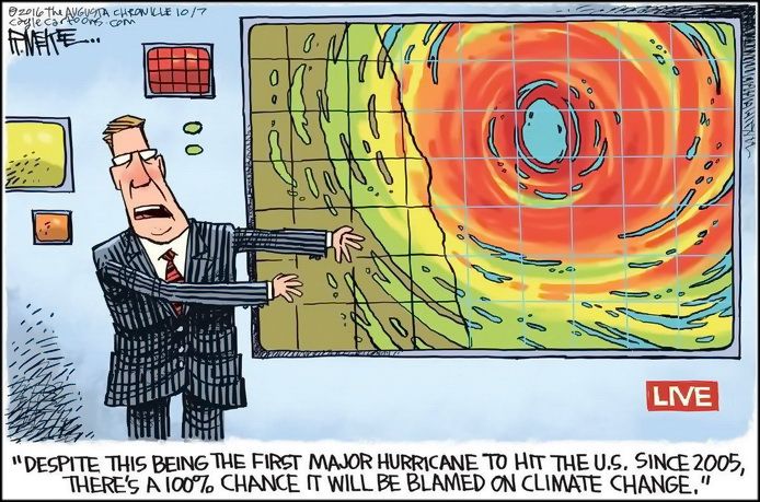
Via DR. ROY SPENCER:
Today marks 4,001 days since the last major hurricane (Wilma in 2005) made landfall in the United States. A major hurricane (Category 3 to 5) has maximum sustained winds of at least 111 mph, and “landfall” means the center of the hurricane eye crosses the coastline.
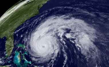
This morning it looks like Matthew will probably not make landfall along the northeast coast of Florida. Even if it does, its intensity is forecast to fall below Cat 3 strength this evening. The National Hurricane Center reported at 7 a.m. EDT that Cape Canaveral in the western eyewall of Matthew experienced a wind gust of 107 mph.
(And pleeeze stop pestering me about The Storm Formerly Known as Hurricane Sandy, it was Category 1 at landfall. Ike was Cat 2.)
While coastal residents grow weary of “false alarms” when it comes to hurricane warnings, the National Weather Service has little choice when it comes to warning of severe weather events like tornadoes and hurricanes. Because of forecast uncertainty, the other option (under-warning) would inevitably lead to a catastrophic event that was not warned.
This would be unacceptable to the public. Most of us who live in “tornado alley” have experienced dozens if not hundreds of tornado warnings without ever seeing an actual tornado. I would wager that hurricane conditions are, on average, experienced a small fraction of the time that hurricane warnings are issued for any given location….
[….]
Seldom does an actual anemometer (wind measuring device) on a tower measure anything close to what is reported as the maximum sustained winds. This is because there aren’t many anemometers with good exposure and the chances of the small patch of highest winds hitting an instrumented tower are pretty small. It also raises the legitimate question of whether maximum sustained winds should be focused on so much when hurricane intensity is reported. Media hype also exaggerates the problem. Even if the maximum sustained wind estimate was totally accurate, the area affected by it is typically quite small, yet most of the warned population is under the impression they, personally, are going to experience such extreme conditions….
WATTS UP WITH THAT also includes the report from the National Hurricane Center:
Still no landfall for #Matthew, remains Cat 3 storm
So far, Florida has been lucky. While the storm remains dangerous, it seems it has continued just off the coast, and has begun the first steps towards a northeast turn. NHC’s 9AM EST reports had this to say:
…EYEWALL OF DANGEROUS HURRICANE MATTHEW HUGGING THE COAST OF
CENTRAL FLORIDA…
SUMMARY OF 800 AM EDT…1200 UTC…INFORMATION
———————————————-
LOCATION…28.9N 80.3W
ABOUT 35 MI…55 KM NNE OF CAPE CANAVERAL FLORIDA
ABOUT 45 MI…75 KM ESE OF DAYTONA BEACH FLORIDA
MAXIMUM SUSTAINED WINDS…120 MPH…195 KM/H
PRESENT MOVEMENT…NNW OR 330 DEGREES AT 13 MPH…20 KM/H
MINIMUM CENTRAL PRESSURE…944 MB…27.86 INCHES
DISCUSSION AND 48-HOUR OUTLOOK
——————————
At 800 AM EDT (1200 UTC), the eye of Hurricane Matthew was located near latitude 28.9 North, longitude 80.3 West. Matthew is moving toward the north-northwest near 13 mph (20 km/h), and this general motion is expected to continue today. A turn toward the north is expected tonight or Saturday. On the forecast track, the center of Matthew will be moving near or over the east coast of the Florida peninsula through tonight, and near or over the coasts of Georgia and South Carolina on Saturday. Maximum sustained winds are near 120 mph (195 km/h) with higher gusts. Matthew is a category 3 hurricane on the Saffir-Simpson Hurricane Wind Scale. Although weakening is forecast during the next 48 hours, Matthew is expected to be a category 3 hurricane as it moves near the coast of Florida today. Hurricane-force winds extend outward up to 60 miles (95 km) from the center, and tropical-storm-force winds extend outward up to 185 miles (295 km). Cape Canaveral recently reported and wind gust to 97 mph (155 km/h), and Daytona Beach reported a wind gust of 67 mph (110 km/h)……………